
The Role of Surveying in Uganda's Real Estate Development


Understanding Surveying in Real Estate Development
Surveying is a critical component in the development of real estate, particularly in rapidly growing regions like Uganda. As the demand for housing and commercial spaces increases, the need for accurate land measurements and assessments becomes essential. Surveying ensures that developments are built on solid legal and physical foundations, minimizing disputes and fostering sustainable growth.
The Importance of Land Surveys
One of the primary roles of surveying is to establish clear property boundaries. This ensures that all stakeholders have a mutual understanding of where one property ends and another begins. In Uganda, where land disputes can be prevalent, having precise surveys conducted by professionals can prevent legal battles and promote harmony among landowners.
Beyond boundaries, surveys provide crucial data about the topography and features of the land. This information helps developers design structures that are not only aesthetically pleasing but also structurally sound. By understanding the land's characteristics, architects and engineers can create plans that work in harmony with the environment.
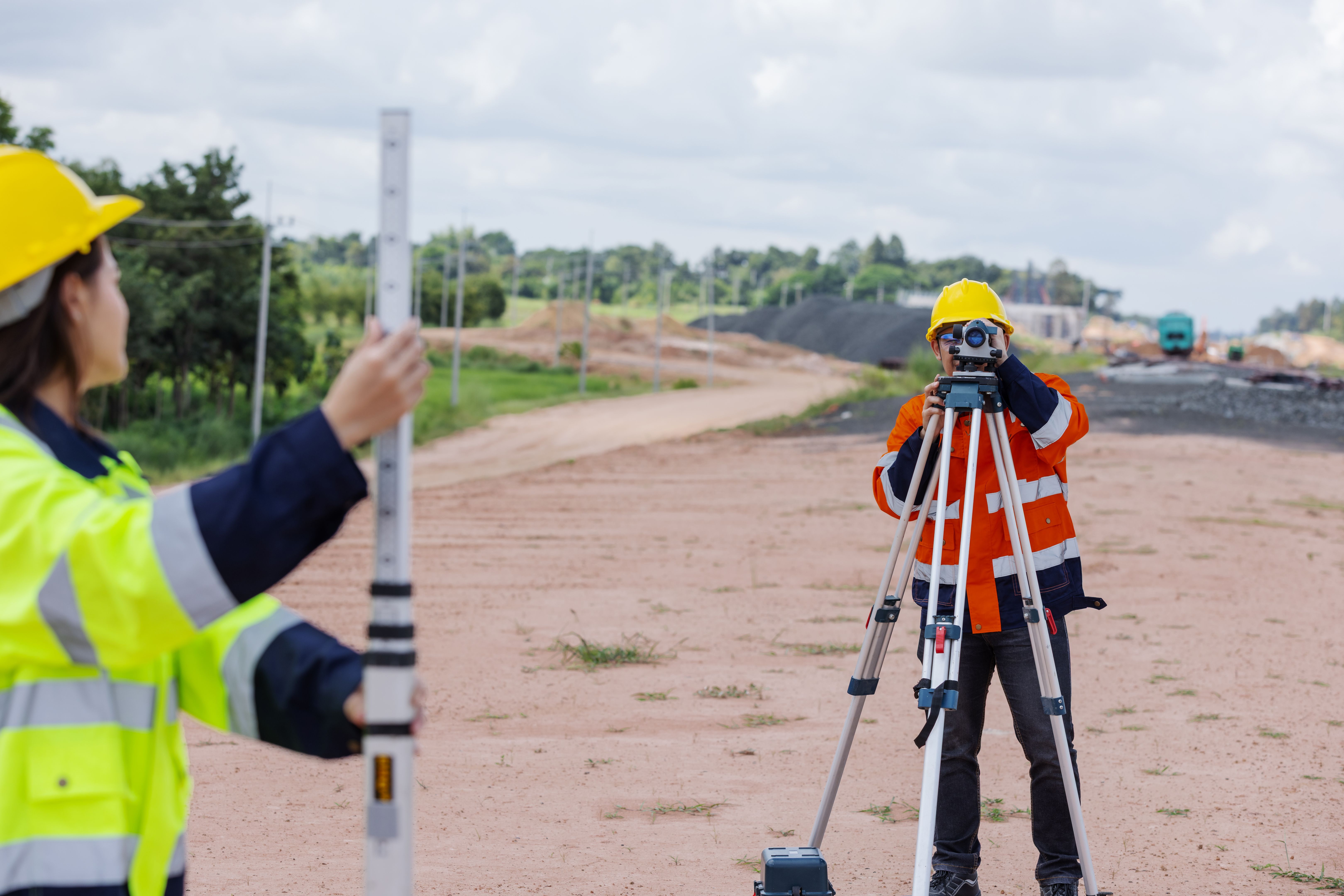
Types of Surveys Used in Uganda
Several types of surveys are commonly used in Uganda's real estate development. These include:
- Topographic Surveys: These surveys map the contours and features of the land, providing essential data for planning and design.
- Boundary Surveys: These are crucial for establishing legal property lines and avoiding disputes.
- Construction Surveys: Used to guide the construction of buildings and infrastructure, ensuring everything is built according to plan.

Technological Advancements in Surveying
As technology advances, so does the field of surveying. In Uganda, modern tools like GPS and drones are increasingly used to conduct surveys more accurately and efficiently. These technologies not only save time but also provide more detailed data, which is invaluable for developers and planners.
For instance, drones can capture aerial images of large areas, offering a comprehensive view that traditional methods may not provide. This is particularly useful in regions with challenging terrains, where accessibility is limited.
The Impact of Surveying on Sustainable Development
Surveying plays a pivotal role in promoting sustainable development in Uganda. By providing accurate data, surveyors help ensure that developments are environmentally friendly and socially responsible. This is crucial for maintaining ecological balance and ensuring that future generations can enjoy the benefits of Uganda's natural beauty.

Challenges Faced by Surveyors in Uganda
Despite its importance, surveying in Uganda faces several challenges. These include limited access to modern equipment, a shortage of trained professionals, and sometimes complex regulatory environments. Overcoming these obstacles is vital for the continued growth of the real estate sector.
Efforts are being made to address these issues through training programs and investments in technology. By supporting the surveying profession, Uganda can ensure that its real estate development is both efficient and equitable.
Conclusion
Surveying is an indispensable part of Uganda's real estate development landscape. It lays the groundwork for successful projects, ensures legal compliance, and promotes sustainable practices. As Uganda continues to grow, the role of surveying will only become more critical, guiding the country towards a prosperous and harmonious future.